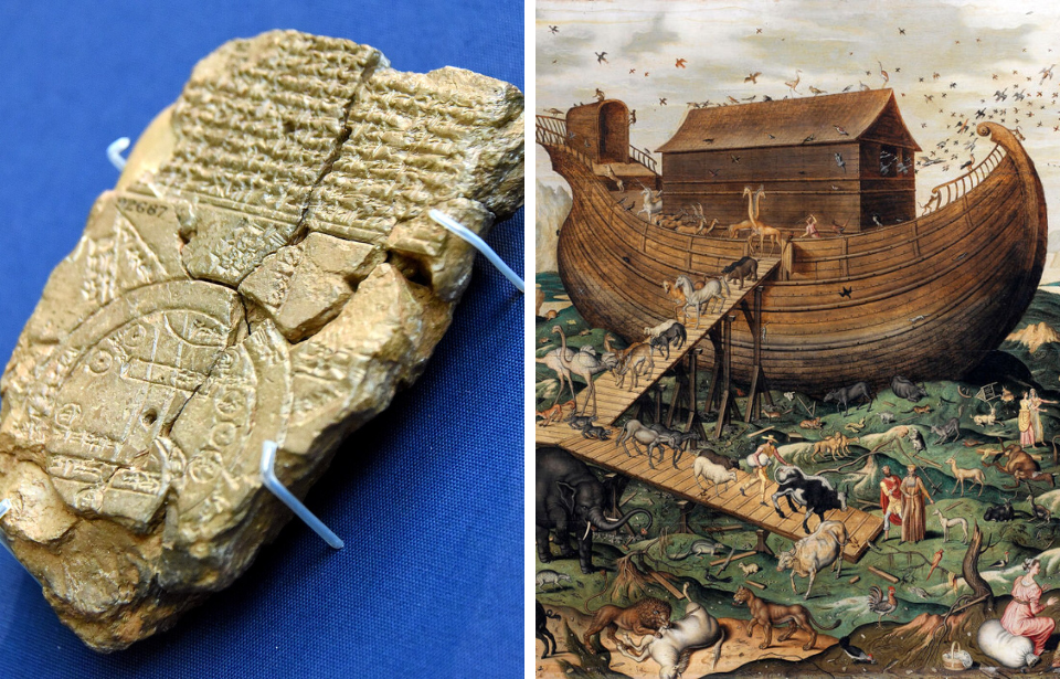
Researchers from the British Museum have revealed some exciting news: they’ve deciphered a 3,000-year-old tablet that appears to point toward the location of Noah’s Ark. The Imago Mundi (“Babylonian Map of the World”) references a “Great Flood,” which has parallels to the Old Testament story.

The Imago Mundi was discovered in 1882 at Sippar, near modern-day Baghdad, Iraq. For over a century, the tablet confused scholars and historians, who struggled to decipher the cuneiform script etched into it.
This is what led the British Museum, where it’s held, to give it another try. The tablet was deciphered in 2024, with the team discovering that it features one of the oldest maps ever discovered, showing what was then the entire “known” world. What’s more, it references events that are mentioned in the Bible.
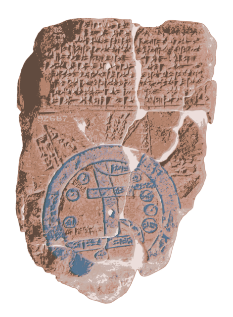
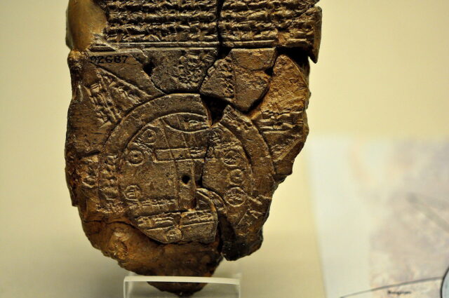
Speaking in a video published by the British Museum, curator Dr. Irving Finkel said, “If you look carefully, you will see that the flat surface of the clay has a double circle drawn […] with cuneiform writing in it, which says it’s the ‘Bitter River.'”
This river is a double-ringed circle on the Imago Mundi, and it has within it ancient Mesopotamia, Babylon and other cities, and the Euphrates. Outside of it sit a series of triangular shapes (at one point eight), which researchers believe represent unexplored lands or mountain ranges.
Each has descriptions of what’s known about them, such as the existence of flightless birds and a lack of sunlight.

While intriguing in and of itself, this isn’t what makes the work by the British Museum so astonishing. What does is that one of the triangles appears to share similarities to the story of Noah’s Ark, which is found in Genesis. What’s more, the writing on the back of the tablet offers additional evidence that such a vessel actually existed.
To reach the fourth triangle on the map, the inscription explains one “must travel seven leagues,” after which they’ll come across “something thick as a parsiktu-vessel.” The exact same ship has made appearances in other Babylonian tablets referencing an ark-like structure.
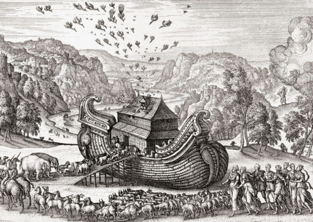
According to Finkel, the inscriptions describe the “ark” that legend states came to rest atop the mountain of Urartu, as told by an ancient Mesopotamian poem. It alleges a family landed the ark on the mountain to keep life on the planet during a 150-day flood, caused by the god Ea wanting to destroy all of humanity.
In the Bible, Noah’s vessel lands on “Ararat,” which scholars believe could be the same mountain referenced by the Babylonians. It’s supposedly located in Turkey, featuring a peak that matches the dimensions and shape of biblical figure’s vessel.
“It shows that the story is the same and, of course, that one led to the other, but also that the Babylonian point of view, this was a matter-of-fact thing. That if you did go on this journey you would see the remnants of this historic boat,” Finkel explained in the video.

More from us: Secret Tomb Found Beneath Site Made Famous By ‘Indiana Jones and the Last Crusade’
Want to become a trivia master? Sign up for our Today In History newsletter!
Presently, the story of Noah’s Ark is widely considered to be a myth or parable.
