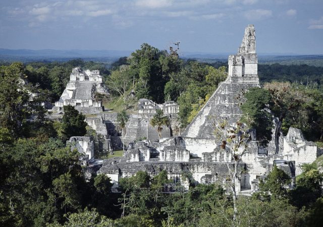
Ancient Maya ruins are some of the most incredible in the world, often including stunning pyramids that reach high up above the treeline. As it turns out, there are some extensive ruins still hidden away in Central America. Using laser technology, a group of researchers has recently discovered a previously unknown Maya site located in the middle of a rainforest. Even more impressive, it spans 650 square miles underground.
Maya Guatemala
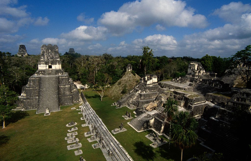
The Maya people lived throughout Mesoamerica, present-day Mexico and Central America, prior to the arrival of the Spanish in the 16th century. Their civilization peaked between 250 and 900 AD, which is when many of their largest and most impressive cities were built. Among these well-known sites are Coba, Tulum, and Chichen Itza, all in Mexico, and Tikal, located in Guatemala.

There are many other sites in Guatemala, as there was a large Maya population that lived on these lands. In fact, there still is. Most surviving Maya live in Guatemala, with approximately 40 percent of the total population claiming this ancestry. It is because of this rich history that the researchers who published their findings – from Guatemalan, French, and American universities – looked into this area.
Innovative technology
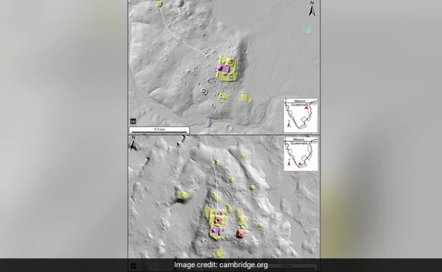
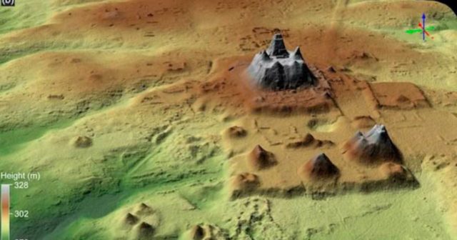
The team went into the project using LiDAR (light detection and ranging) technology – laser lights that are bounced off surfaces to create a map based on how long it takes the waves to return. This technique has been increasingly used by researchers, particularly those operating in dense forests. The lasers not only penetrate the canopy but also the ground, revealing what lies below the surface.

This was exactly the case for the Guatemala discovery, as the team was investigating the Mirador-Calakmul Karst Basin, a thriving jungle that limited their ability to use other methods. They conducted an aerial survey, allowing the team to create a map of the forested area without ever having to set foot in it. What they discovered was truly incredible, as researchers could see the full layout of this underground Maya region.
New understandings
Not only did they discover a 2,000-year-old Maya site, but they were able to identify almost 1,000 individual settlements connected by 100 miles of causeway to enable easy movement between locations. The creation of these roads would have required the use of collective labor. This discovery is especially important as it goes against the previously held view that Mesoamerican villages weren’t densely populated.

Notably, many of these villages had ball courts, as well as large pyramids which would have been used for work, recreation, or as political spaces. The research team was also able to identify canals and reservoirs near the settlements which allowed for easy movement of water, or easy storage during times of drought. Each of these finds indicates that the people living in the area had definite governance and organizational strategies.
More from us: The Decrepit Remains of Benito Mussolini’s Retirement Home in Greece
The team will move ahead with trying to organize each of the sites into their proper boundaries according to how they were once connected. They will then name those locations.
