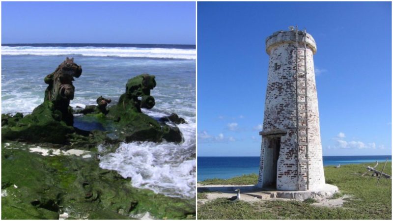
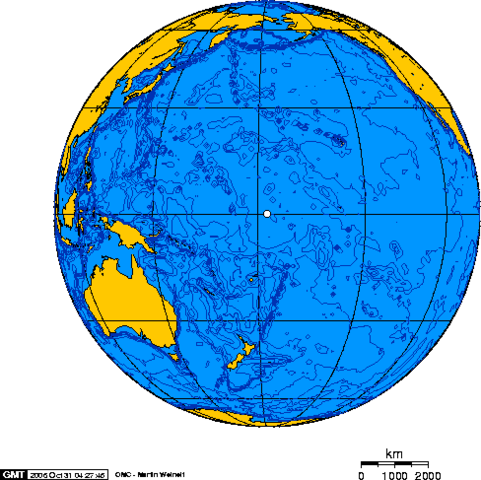
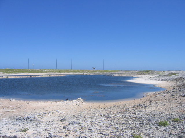
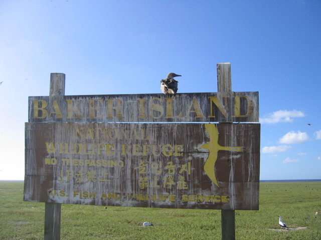
Pretty much in the middle of the Pacific Ocean lies a very small atoll. Just 3 miles (4.8 km) of shoreline. It’s highest “peak” is 26 feet(8 m) above sea level. A sandy place where four different types of grass grow.
There are no trees, fresh water or people. It is a home however to some seabirds, shorebirds and marine life, some of them are on the list of endangered species.
Discovery: The era of Sea Captains
The island was discovered in 1818 when Captain Elisha Folger was hunting whales in the Pacific Ocean. Two whaling ship captains landed there before it was named by the third who visited it – Captain Michael Baker made two or three visits, some ship logs say 1832, 1834 and 1839. He claimed the island much later in 1855 and although the island is small it was rich with guano deposits, which at the time was a very valuable fertilizer. So the USA claimed the island and the American Guano Co. mined out it’s guano deposits from 1859 until 1878.
Colonization: The era of Conquest
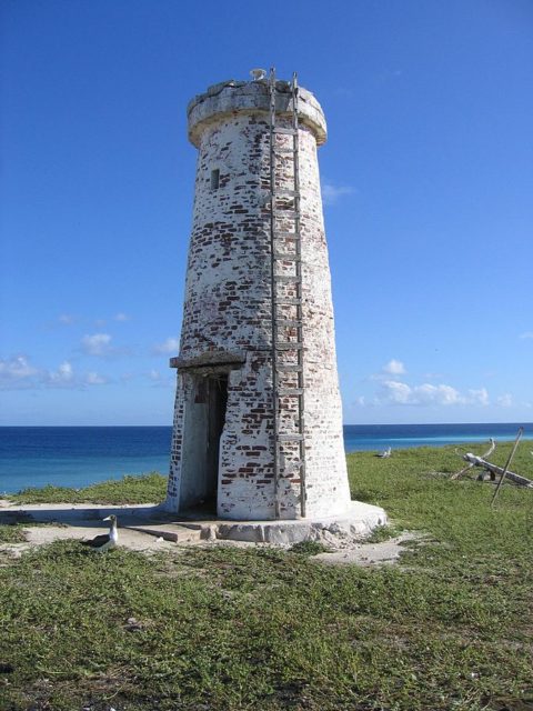
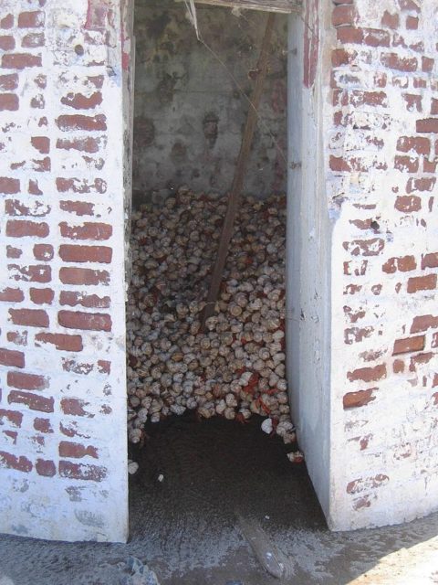
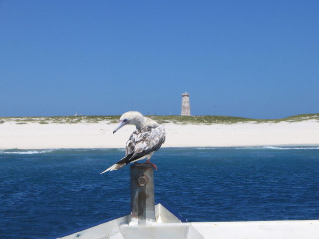
There was an attempt to colonize Baker Island by the USA on 3rd of April 1935. The settlement was named Meyerton, after a captain of the US Army, who helped establish the base in 1935. They build a lighthouse and some nice houses. The real challenge was to grow trees and crops to help provide food. Only two palm trees out of many planted survived and they were jokingly called “King-Doyle Park” by two Hawaiians who once visited the island. In 1942 the Japanese air force attacked the island so to did the Japanese navy – the USA evacuated all four islanders and their pets!
Junkyard: The modern era
Debris and artifacts of past human occupation are scattered around and on the island. Most of the junk left behind on this abandoned atoll belongs to the US Army from when it occupied it during the Second World War. The biggest and most noticeable mark is the 5.400 foot(1656m) long airstrip.
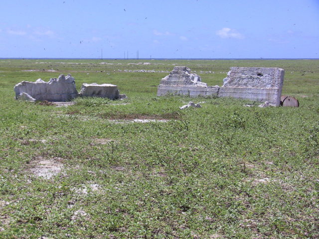
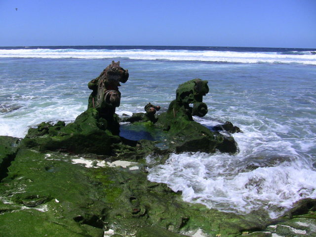
Now completely overgrown by low vegetation and probably useless, even though there have been cases before when old airstrips on islands in the Pacific served as an emergency landing of commercial planes, saving many lives. There are also remains of several buildings and five wooden antenna poles, many metal parts of crashed airplanes and rusty equipment from old bulldozers.
